
Imagine climbing a volcano, jumping off the edge of a cliff, or sliding down a giant sand dune. You can do all that and more in New Zealand, a country in the Pacific Ocean. New Zealand has many types of landforms, including volcanoes, mountains, and underground caves. People from all over the globe explore and photograph its spectacular physical features. It’s no wonder that New Zealand is called the adventure capital of the world!
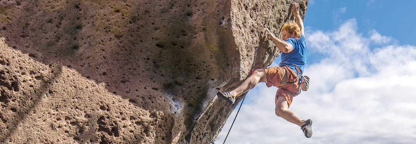
A rock climber scales a cliff near Lake Taupo.
Tom Hoyle/Getty Images
A Land of Adventure
Thrill seekers from around the world trek to New Zealand. Find out why this island nation is a top spot for extreme adventures!
Jim McMahon/MapMan®
The country is an archipelago [ahr-keh-PEL-uh-goh], or group of islands. Long mountain ranges run across the country’s two main islands—North Island and South Island. Rocky canyons are also features of both islands. These deep river valleys with steep sides are perfect for bungee jumping, an extreme sport that started in New Zealand. It involves leaping from a high point with a long elastic cord tied around your ankles. The cord’s other end is tied to a secure point. New Zealand’s highest bungee jump is over 400 feet!
David Wall/Alamy Stock Photo
A boy sand boards down the Te Paki Sand Dunes.
For people who want to find a hot spot, they need look no further than North Island. It’s known for its many active volcanoes. The island’s center is also dotted with other volcanic landforms, like geysers that shoot water high into the air and bubbling mud pools.
At the tip of North Island, you’ll find the Te Paki Sand Dunes. Te Paki was once a separate island, but over millions of years, mounds of sand built up and connected it to North Island. Some of the dunes are more than 300 feet high! Many people enjoy riding down their slopes on sand boards.
Andrew Peacock/Aurora Photos
Climbers find unusual ice formations at Mt. Cook’s summit.
“I made it to the bottom in what seemed like a flash,” says New Zealand tour guide Barbara Linton. “My heart was pounding!”
On South Island, people can kayak along narrow waterways called fjords [fyords] and climb icy glaciers along its west coast. They can also explore ice caves! Photographer Craig Potton once spent the night in an ice cave atop the South Island’s (and country’s) highest peak—Mount Cook. He says, “New Zealand’s outdoors make you feel alive!”
1. What makes New Zealand an archipelago? Which U.S. state is also an archipelago?
2. What kind of landforms are the Southern Alps? Are they higher or lower than the Canterbury Plains?
3. Which island would be best for seeing different volcanic landforms? Name two shown there on this map.
videos
(2)
videos
(2)
Text-to-Speech